Pages

Tuesday 31 December 2013

YANA, UTTARA KANNADA (KARWAR), KARNATAKA


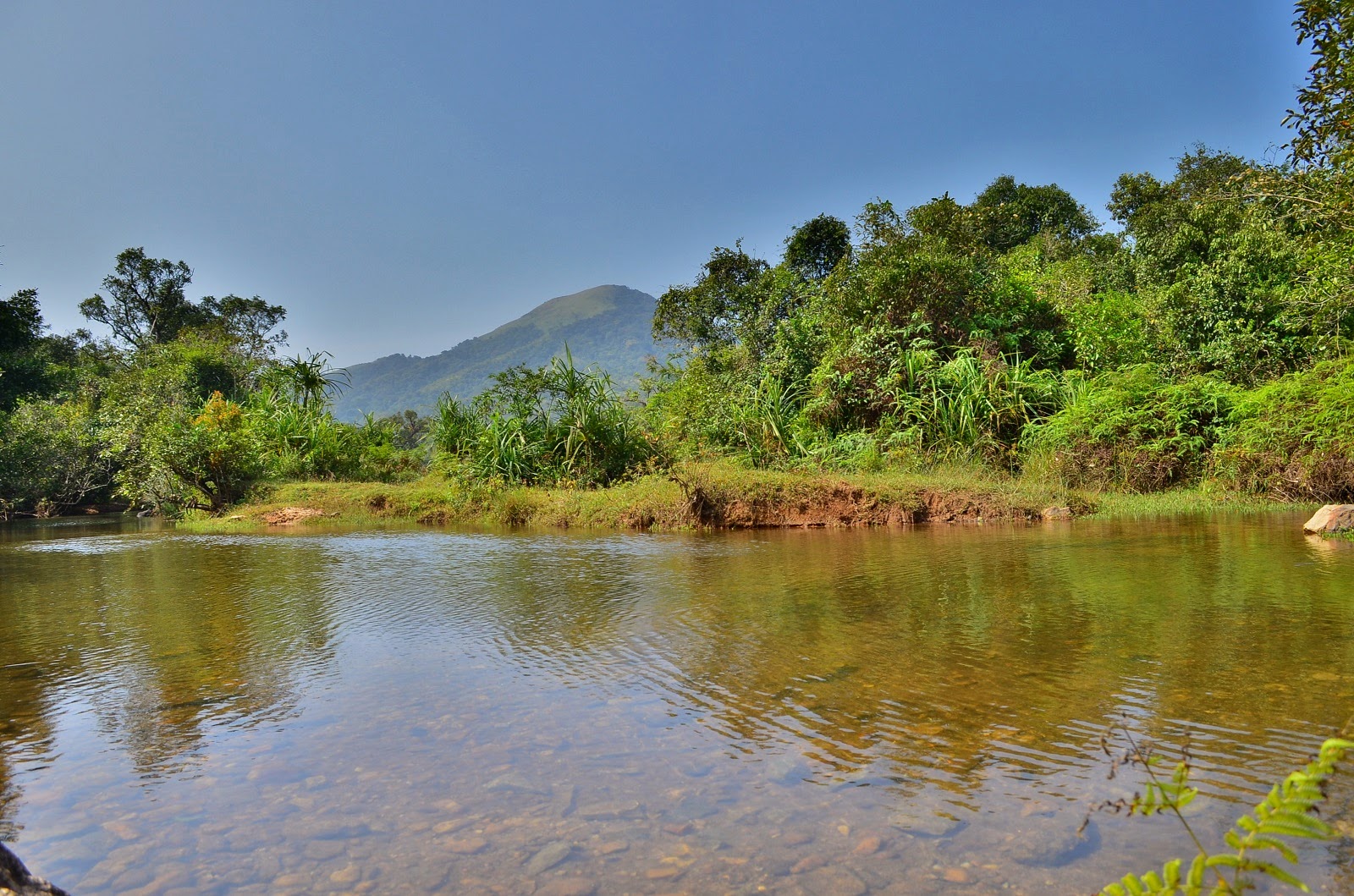
Yana (Kannada: ಯಾಣ) is a village in the Kumta Taluk, Uttara Kannada district of Karnataka, India that is known for the unusual rock formations (Karst) or (Asteroid) in its vicinity. It is located in the Sahyadri mountain range of the Western Ghats, 40 kilometres (25 mi) from Sirsi, and 20 kilometers (12 mi) from Kumta.
Once you reach the Yana park your vehicle and you need to pay the parking fee here, you will see the cool-drink shop, have some water then start, you need to walk for another 2 Km approximately to see the gigantic rocks, once you are started definitely you will be getting sweat too much. Have some rest intermittently to burn your thirsty.we have not experienced the Leeches bite, as this was not a Monsoon season.
There is a temple of Ganga and Bairaveshwara in Yana which is below the rock.

How to reach Yaana

1. Bangalore - Shimoga - Sirsi
2. Yana is located between Sirsi and Kumta road.
3. If you are traveling from Sirsi it is around 40 Km away, you need to travel up to Katagala (Kathagala) before reaching Katagala you will find the deviation road to Yana. It is around 20 KM distance.
4. From Kumta it is 20 KM, as above mentioned you need to travel up to Katagala.
5. If you have your own vehicle then no problem, if you are travelling from public transport, this is a busy road you will get buses traveling between Sirsi and Kumta, get down at Katagala. From Katagala you need travel by 3 wheeler this will cost around 600 -/- Rs as of 2013 for up and down.
6. There is a bus facility to Yana, but it will be on its scheduled timings.


Near by places
1. Durga devi Temple, Devimane, Hence the name Devimane Ghat to Sirsi - kumta road.
2. A fabulous view of Western Ghats from Devimane ghat.

YANA


GANGA BAIRAVESWARA TEMPLE, YANA


Saturday 28 December 2013

ETTINA BHUJA, MUDIGERE TALUK, CHIKMAGALUR, KARNATAKA.

ETTINA BHUJA

I know Trekking teams' kept this place as primary in their list, a place where you can just practice your photographic skills.

How to reach Ettina bhuja.
There are three Route to reach Ettina bhuja.
1. Mudigere - Hosakere - Bairapura - Ettina bhuja
2. Shishila (Near Dharmastala) - Ettina bhuja
3. Sakleshpur - Hanubalu - Hosakere - Bairapura  - Ettina bhuja

We have chosen the 1st route to reach Ettina Bhuja, because we do not have our own vehicle today, from 1st route you will get the transport facility to reach Bairapura.
If you are traveling from your Own vehicle then no problem, you could park your vehicle at Bairapura.
We have traveled from Hassan to Mudigere by KSRTC bus, we have reached Mudigere around 7:30 AM and we had our breakfast at Mudigere and packed the necessary food and water, there will be a regular KSRTC bus facility from Mudigere to Bairapura, Bus will start at 8:00 AM morning everyday, we are waiting for this bus to start the journey, Bus Crossing the roads of Coffee and tea estates we have crossed Daradahalli and we reached Hosakere cross. We were dropped at Bairapura gate around 9:15AM, from there we began our Journey to Ettina Bhuja. This is one of the best route and short distance to Ettina Bhuja, if you chose 2nd route then it will be a long journey to reach, 3rd one would be the same as 1st route to reach Bairapura, it's via Sakleshpur you will get very less transport facility from this route. As regularly i took some best shots from my gear... :-)

You may also trek Ettina Bhuja from Shishila which is near Dharmasthala, this route stretch is pretty long and you would require a best guide to trek inside the dense forest.

Nanya Bairaveshwara temple Bairapura, Hosakere, Mudigere

Bairapura

A view from Bairapura

Target

Road to Ettina bhuja

A small pond

HDR from Ettina Bhuja
Not tough as kumaraparvatha and ohers places

Uff..

Ettina Bhuja

Clicked at Ettina Bhuja

Top of Ettina bhuja

Western Ghats view

A view from Ettina Bhuja

On the way to Ettina Bhuja
Ettina Bhuja
More

Returning in the evening

Hosakere Paddy Field

On the Way

Shutter will never stop

Paddy Fileds

One more
Walking is a pleasure

More you will see

Wow..!

Different angle
Perspective
 

We Never powered off the camera on whole day !

Mudigere a Heaven on the Earth

Sit and see the Beauty

High definition

This place definitely encourage a Photographer

Mountain lines

New Thinking

Mudigere

Beauty of Hosakere

Byrapura

A shot near Hosakere

Sunday 22 December 2013

MULLAYANAGIRI A FAMILIAR PLACE, CHIKMAGALUR, KARNATAKA

MULLAYANAGIRI

Mullayanagiri is the highest peak in Karnataka, Mullayanagiri is located at Chandra Dhrona Hill Ranges of the Western Ghats of Chikmagalur Taluk. We have started around 12:00 PM from our Home town Hassan District and we have reached the Mullayanagiri around 1:30 PM, Road condition is good but need to be aware there are Deadliest Humps between Hassan to Belur that would touch your car belly.
We have carried food stuffs there, Good Thing is you can get the Mobile canteen right near the mountain, this Mobile Canteen available around 4:00 PM evening.
There is nothing to say much, this is one of the highest peak in Karnataka.


How to reach Mullayanagiri.

1. Bangalore – Chikmagalur – Kaimara
2. You need to travel until Kaimara (Mullayanagiri), ask localites for Kaimara near mullayanagiri road, there is one more Kaimara on the way to Chikmagalur – Belur road.
3. There is no Bus facility to Mullayanagiri. You need to have your own vehicle or rented vehicle to reach this place.

Here is some good snaps of Mullayanagiri....


Mahindra Verito a good Car around

Landscape

Mullayanagiri

Grass Land

Evening Catch

Mullayanagiri a View

HDR from Mullayanagiri

Sunlight Illuminating the Mullayanagiri
Basava (Bull)

Winter Look


A Look in Winter season

Winter season

Morning

Getting inside

Mullappa Swamy Gadduge

Sri Guru Melugadduge Mullappa Swamy Mata

Ubhaya nadu

Mullayyanagiri

Climbing the hill all around

Getting down from Mullayanagiri