It was a Mid-day at MM Hills and we started towards Biligiri Ranganatha
swamy Betta which is situated in Yelandur Taluk of Chamarajanagara Disitrict,
it’s approximately 110 KM from MM hills to BR Hills via Kollegala towards
yelandur road. Black cloudy sky promises for heavy rain, our enthusiasm and greenery
pushes the limit to throttle, taking the advantage of moist air we doubled the
speed to hit the top of BR Hills in a quick time, surprised and more surprised
with the black cloud and beautiful greenery around BR Hills, we have visited
Ranganatha swamy and Alamelamma temple and opened our gears to shoot at quick speed.
Spent an hour at BR Hills and we started our journey towards Chamarajanagar via
yelandur route.
Route map :
Bangalore – Maddur - Kollegala – BR Hills - 183 Kms
MM Hills - Kollegala - BR Hills - 112 Kms
From Kollegala travel towards chamarajanagar Route after 8 Kms ask any villagers to get the shortest route to BR hills, on the way you will see the road direction to BR hills.
MM Hills - Kollegala - BR Hills - 112 Kms
From Kollegala travel towards chamarajanagar Route after 8 Kms ask any villagers to get the shortest route to BR hills, on the way you will see the road direction to BR hills.
 |
| Towards BR Hills |
 |
| That is BR Hills |
 |
| A long Stretch |
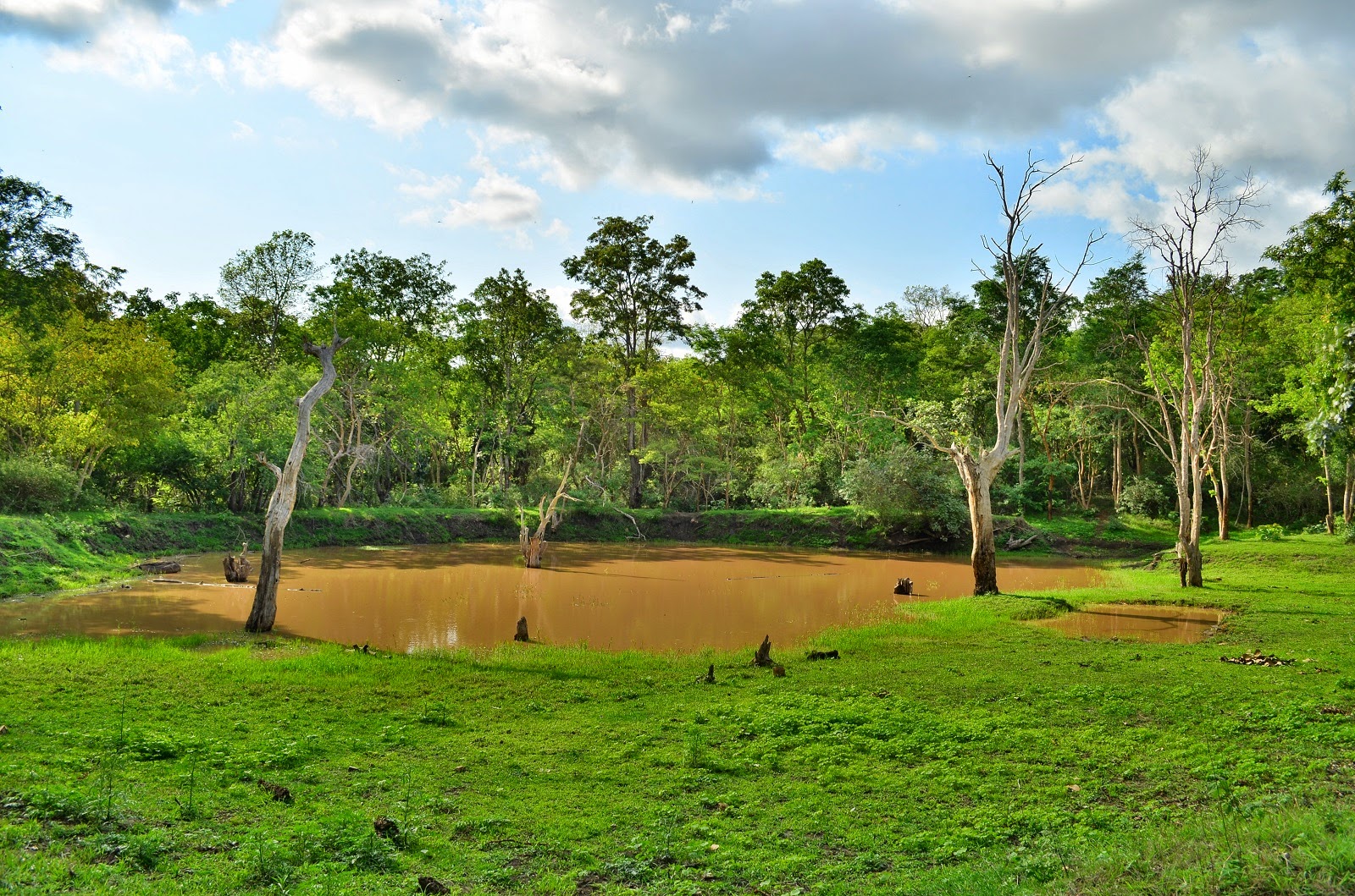 |
| A lake on the way |
 |
| View Point at BR Hills |
 |
| View point 2 |
 |
| You will park and see the nature Beauty |
 |
| Finally Temple |
 |
| Ranganatha Swamy Temple |
 |
| From Gopura Side |
 |
| Temple View point |
 |
| Entrance to the Temple |
 |
| Ranganatha swamy and Alamelamma temple |
 |
| Gopura |
 |
| Complete temple |
 |
| Way to Temple View point |
 |
| A View of temple |
 |
| Evening Lights at Temple |
 |
| View Point |
 |
| One More |
